|
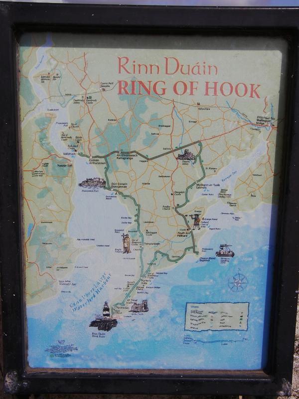 |
| Map | Map of the "Ring of Hook" mounted on the wall near the lighthouse. | |
| Date: 9/4/09 8:36 AM | Resolution: 1536 x 2048 | ISO: 50 | Exp. Time: 1/160s | Aperture: 7.1 | Focal Length: 7.1mm | |
| Total images: 16 | Help | |
|
|
|
| Map | Map of the "Ring of Hook" mounted on the wall near the lighthouse. | |
| Date: 9/4/09 8:36 AM | Resolution: 1536 x 2048 | ISO: 50 | Exp. Time: 1/160s | Aperture: 7.1 | Focal Length: 7.1mm | |
| Total images: 16 | Help | |